Australian diving guide
How to Read Australian Dive Conditions
Translate swell, wind, tide, current, rainfall and visibility forecasts into better questions for the local operator.
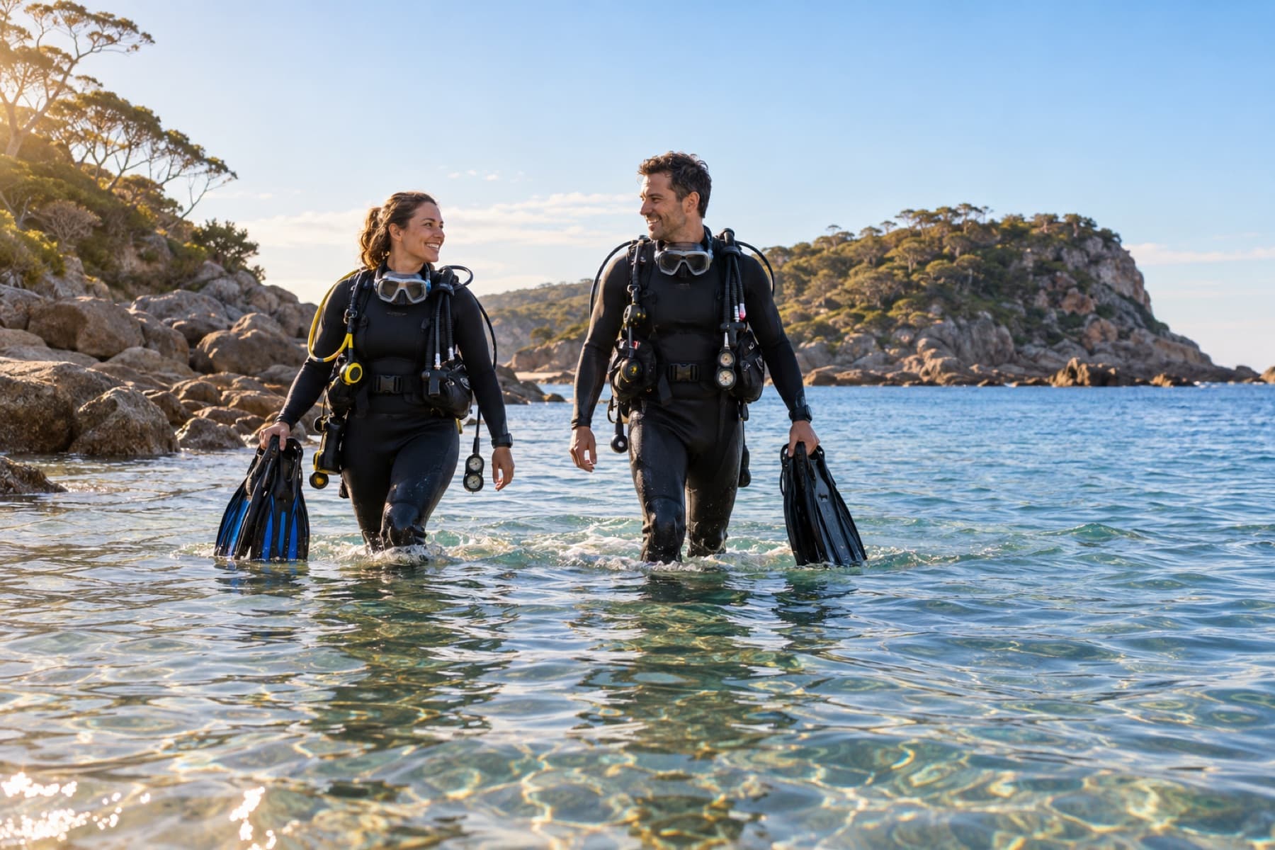
A sunny forecast is not a dive forecast. Wind direction, swell period, tide, runoff and site orientation can make two nearby sites behave very differently.
Forecasts support a decision; they do not replace seeing the site or listening to a local operator who understands its thresholds.
Wind affects surface chop and boat handling; swell carries energy from elsewhere and can create surge or unsafe entries even on a calm morning. Direction matters because headlands and bays shelter different sectors.
Tide height and flow matter differently at jetties, channels, caves and open coasts. Some sites require slack water calculated from a local reference rather than a generic city tide table.
- correct tide station
- local lag after high or low water
- entry and exit exposure
- current direction
- boat traffic window
Visibility reflects recent swell, rainfall, plankton, current and bottom type. Yesterday's report may be better evidence than a seasonal average, but it still cannot guarantee the next tide.
Frequently asked questions
Which weather forecast is best for diving?
Use official marine forecasts plus local site knowledge. No single app captures every entry, current and visibility factor.
Does offshore wind always mean good shore diving?
No. It may flatten one coast while swell, tide or another exposed section remains unsafe.
Can visibility be forecast accurately?
Only broadly. Recent local reports and the processes affecting the site are more useful than a precise-looking number.